
Richmond ZIP Coverage at a Glance
The county's official ZIP map identifies 47374 as Richmond's standard city ZIP. The same map places many other named postal communities across Wayne County. Those labels supply county context, not proof that every point in a shaded area receives mail from the named office. USPS address lookup remains the final source for one delivery address.
| ZIP Code | Areas Covered | Post Office | Notes |
|---|---|---|---|
| 47374 | Richmond postal community | Richmond Post Office, 400 N A St | Standard Richmond ZIP on the current county map |
| 47330 | Centerville | Verify the exact address with USPS | Wayne County context west of Richmond |
| 47341 | Fountain City | Verify the exact address with USPS | Wayne County context north of Richmond |
| 47346 | Hagerstown | Verify the exact address with USPS | Wayne County context northwest of Richmond |
| 47375 | Richmond destination in an archived USPS source | Current classification not confirmed | Do not treat as a current city-wide ZIP |
The official map also names Boston, Brownsville, Cambridge City, Dublin, Economy, Greens Fork, Lynn, Milton, Modoc, Pershing, Webster, Williamsburg, and other county communities. This Richmond ZIP code directory keeps those nearby codes distinct because a county record can carry a mailing address outside the city. The 47375 entry is a documented gap: an archived USPS manual tied it to Richmond, but current public material did not establish whether it remains active or what class it serves.
For any county community, write down the full address exactly as USPS returns it. Then compare the county map label rather than guessing from the nearest town. This method keeps 47374 searches focused on Richmond while preserving valid mailing names elsewhere in Wayne County.
Richmond's Dated ZIP Map
The Wayne County and Richmond ZIP map carries a May 9, 2025 revision date. Save that date with any result. Postal delivery routes and GIS layers can change, and the map itself is contextual rather than a survey or title record.
A good geographic note preserves the address, ZIP, parcel or PIN, map date, and city or township source. That small record prevents a later map revision from being mistaken for an error. It also keeps Richmond's municipal boundary separate from the broader Wayne County postal pattern.
Search Richmond Records by ZIP
Official sources use ZIP in different ways. Wayne's parcel layer separates a property's physical ZIP from the owner's tax-mailing ZIP. The address-point layer stores a normalized ZIP. State business, license, permit, and inspection systems may accept city or ZIP filters, but their results describe regulated roles and places, not private households.
- Verify the full delivery address through USPS ZIP Lookup. Keep its standardized street form.
- Check the county address-point field `NEWZIP`, including unit and match flags, for local address geography.
- Compare the parcel's `ZIP` with `BILLZIP`. A mismatch can be valid because the owner receives tax mail elsewhere.
- Use a name, parcel ID, or exact address to inspect the resulting official record. A ZIP-only match is too broad.
Once the postal area is known, the Richmond street directory handles the exact address and named-street workflow. That change in scale matters: a postal zone narrows geography, while a parcel or address point supplies the stable local key.
Richmond ZIP Search Fields
The county GIS layers make their field meanings visible, which helps prevent a billing address from being read as a home. Beacon and Richmond BS&A add public-facing property and permit routes, though their live controls can vary.
| Portal | ZIP field or mode | Result | Limit |
|---|---|---|---|
| Wayne Parcel GIS | `ZIP` and `BILLZIP` | Situs parcel or tax-mailing record | Not a ZIP-wide household list |
| Wayne Address GIS | `NEWZIP` | Address points and units | Match flags and export date matter |
| Beacon | Address or parcel search; ZIP may display | Parcel cards and map results | Exact ZIP control depends on live setup |
| Richmond BS&A | Address and property result | Property, building, permit records | Includes a documented two-mile fringe |
| PLA MyLicense | City, county, ZIP | Credential or facility record | Practice location is not residence proof |
The city's Wayne County property-search instructions shown below lead readers to the official parcel search options.
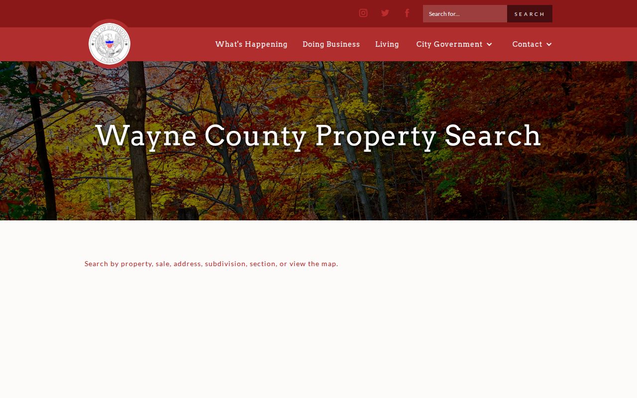
After opening the property system, use the exact street or parcel key rather than assuming all records under one postal code describe Richmond residents.
USPS Checks for Richmond Addresses
USPS standardization answers a delivery question. It can correct street spelling, direction, unit form, city name, ZIP, and ZIP+4 for a complete address. County GIS answers a different question by tying the same place to an address point, parcel, township, or municipal layer. Recorder records use a legal description for the historical property chain.
The USPS explanation of ZIP codes is pictured below.
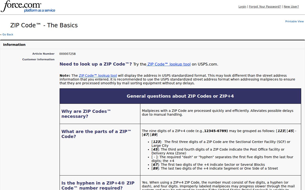
The postal definition explains why a ZIP code directory sorts delivery zones, not city government boundaries or resident identity.
Note: Keep the USPS result date beside the county map date when a Richmond address sits near a boundary.
Richmond ZIP Business Records
Indiana business and regulatory portals can use ZIP as a practical filter. INBiz advanced search accepts street address, city, and ZIP for entities. MyLicense searches people or facilities by city, county, and ZIP. The state inspection portal includes street, city, county, ZIP, date, and map-radius fields. ATC permit records can show a business address and jurisdiction.
These are role records. A registered office, practice site, facility, or permit address must not be turned into a claim about where a natural person lives. Use the ZIP code directory to narrow a lawful search, then quote the role and record date exactly.
Old Richmond Addresses Need Conversion
A failed modern postal search does not disprove an old Richmond address. Street names and numbering changed, including documented 1881 and 1929 conversions collected by Morrisson-Reeves Library. Historic directories and the 1891 Sanborn maps predate today's ZIP system, so first convert the street name and block. Then use the modern parcel, address-point, and ZIP fields.
This human-use sequence is especially useful for family history: original street name, modern street name, direction or block, directory or map year, current parcel, then present ZIP. Parks, cemeteries, rail lines, and historic districts can also serve as place clues when no postal code appears in the old source.
Richmond ZIP and City Limits
Richmond city, Wayne Township, Wayne County, and the 47374 delivery area are separate geographies. A Richmond mailing address can fall outside an assumed city line. Richmond BS&A also covers the city plus a documented two-mile fringe, so a record in that portal is not automatic proof of municipal location.
Use the county GIS for parcel geography, USPS for delivery formatting, and the Recorder's legal description for land history. Date-stamp each source. A ZIP code directory is a useful sorting tool, but only the matching public record can show the owner, regulated role, or dated address tied to the search.
- ZIP vs ZIP+4
- A ZIP is a broad delivery area. ZIP+4 narrows mail sorting to a smaller segment.
- PO-box ZIP
- A code or delivery pattern used for post-office boxes rather than street delivery.
- Unique ZIP
- A code assigned to one high-volume organization. No Richmond example was confirmed.
- Carrier route
- The set of delivery points served by one postal route, which can cross other boundaries.