
Richmond Block Records Compared
No official list names every person on a Richmond block. Instead, public systems show parcels, normalized address points, assessed owners, tax mail destinations, recorded deed parties, and city cases. Each has a narrow purpose. The block table below separates what a source can show from what remains unknown.
| Richmond source | Block detail available | Access and limit |
|---|---|---|
| Wayne Parcel GIS | Nearby polygons, owner, situs, billing, legal description, deed number, ZIP, and building fields | Public REST query with geometry and distance; capture query and date |
| Wayne Address GIS | Address, unit, alias, ZIP, PIN, site type, and match flags | Public point layer; no resident-name field |
| Beacon | Property, name, address, parcel card, and map search | Public viewer; live controls are partly JavaScript-rendered |
| Richmond BS&A | Permits, inspections, zoning, code, and attached property records | Public search covering the city and its two-mile fringe |
| Recorder and Doxpop | Deed parties and legal-description links among parcels | Index from 1994, images from 2000; older records at Recorder |
| Community sources | Public projects, meetings, district history, and group contacts | No verified all-member or all-neighbor roster |
A parcel owner may live elsewhere. A tax mailing address may belong to an agent. A permit can name a contractor. None of those facts alone identifies all people at the site.
Map a Richmond Neighbor Block
The Wayne County GIS is the clearest official start for an immediate radius. Its public parcel service supports geometry, distance, pagination, statistics, and standard query outputs. The address-point layer can first normalize a unit or street form, while the parcel layer supplies ownership and land fields. The documented method does not depend on guessing the viewer's button labels.
- Search the starting address in the address-point layer. Save its formatted address, unit, ZIP, PIN, site type, and any alias or match warning.
- Open the matching parcel. Keep the PIN or parcel ID, situs address, legal description, and map geometry as the join keys.
- Query touching or nearby parcel polygons with a stated distance or map extent. Save the coordinate system, filter, output fields, and capture date.
- Read each parcel as a separate record. Keep assessed owner, tax mailing address, legal description, ZIP, active or improved status, and building fields apart.
- Check selected parcels in Beacon, BS&A, Recorder, or Planning only when the question calls for that second source.
The manifest image from the official Wayne GIS entry point shows where this block work begins.
The map is a dated parcel view. It should not be converted into a claim about every household nearby.
For a full road rather than the immediate radius, use the Richmond street directory lookup. That workflow follows a named street beyond adjacent parcels.
Richmond Neighbor Parcel Fields
The Wayne parcel layer keeps physical and mailing fields separate. That distinction matters when identifying nearby land. OWNERNAME is an assessed owner display. The situs uses house number, street, city, and ZIP fields. Billing lines point to the tax mail destination, which can be outside Richmond. A remote mailing address is not proof that a parcel stands empty.
| Field group | Use in a neighbor search |
|---|---|
| PIN, PARCELID, TAX_ID | Carry one parcel accurately between GIS, assessment, city, and recorder systems. |
| HOUSENBR, STREET, CITY, ZIP | Describe the situs, meaning the parcel's physical address. |
| OWNERNAME | Shows assessed ownership, not a complete list of occupants. |
| BILLADDL1, billing city, state, ZIP | Shows where tax mail is sent; it may differ from the situs. |
| LEGALDESCR, DEEDNBR | Links the mapped parcel to legal-description and recorded-instrument research. |
| YEARBUILT, area, active, improved | Adds physical context without identifying a household. |
The address-point layer adds aliases, primary-address status, unit, site ID, and match or problem flags. It has no personal-name field. Use it to decide whether two forms describe the same place, not who lives there.
Richmond Block Projects by Address
Richmond's BS&A portal brings county parcel context into city permits, inspections, zoning, code, and request records. The Richmond property and permit search is shown in this capture.
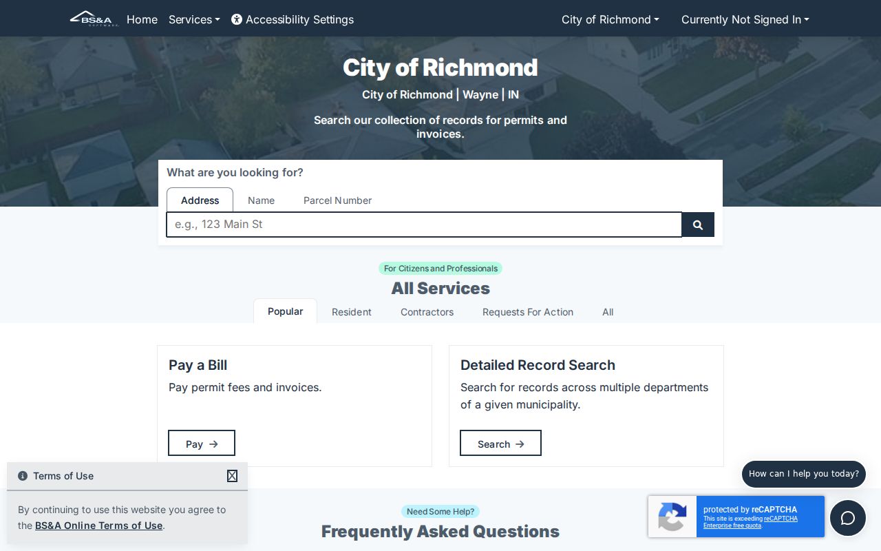
A result can tell why work is occurring on a nearby parcel, but an applicant, owner, or contractor is not necessarily a resident.
A city sample for parcel reference 891619340202001030 shows the deeper building-record structure. The sample Richmond parcel building record is captured here.
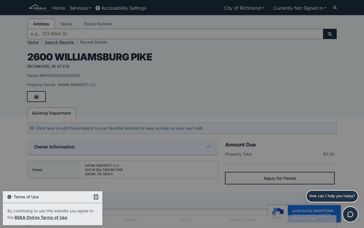
The sample is useful for learning the schema. It is not a general neighbor result and should not be copied into a personal dossier.
Planning and Zoning also publishes cases searchable by address, owner name, and case name. Board of Zoning Appeals history reaches the 1960s. Preserve the board, case type, action, and date so a historic land-use party is not mistaken for a current neighbor.
Richmond Neighborhood Lines Matter
Starr Historic District covers a distinct north-side area rather than all of Richmond. The tourism description places its 24 blocks between North A through E, the North 9th and 10th alley, and North 16th. The more formal state nomination describes 160 acres and 102 historic structures. Old Richmond lies south of Main around South 1st through 6th. It entered the National Register in 1974 and expanded in 2003.
These boundaries help with block history and civic context. They do not create a roster of Richmond neighbors. The Historic Preservation Commission links preservation rules, the Neighborhood Preservation Plan, archives, the library, museum, and GIS.
Commission agendas and cases can identify public project participants at a date, while district status adds building context.
Note: A postal ZIP, historic district, city limit, parcel boundary, and neighborhood name can overlap without sharing the same edge.
Richmond Civic Group Contacts
Richmond has named groups, but no city-maintained umbrella directory of neighborhood associations was found. An official city story identifies the Starr Neighborhood Association and Grassroots Neighborhood Coalition as participants in Starr Park landscaping. That is evidence of civic activity, not a published membership list.
| Richmond group | Community link | Public route and limit |
|---|---|---|
| Starr Neighborhood Association | Starr Park and Starr Historic District | Named in city project release; no public member directory verified |
| Grassroots Neighborhood Coalition | Local neighborhood participation partner | Named in the same release; no public roster verified |
| Historic Preservation Commission | Citywide preservation cases and district resources | Public meetings and case material, not a household roll |
| Wayne County Genealogical Society | County family-history research | Library and research committee, not a current block directory |
| Morrisson-Reeves Library | Richmond community-memory collections | Indexes and archive inquiries, not a resident roster |
The city's Starr Park project release documents the two neighborhood partners.
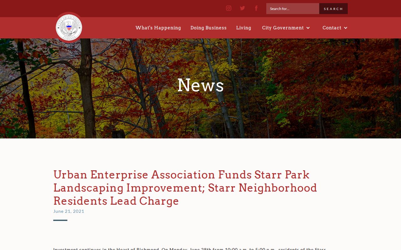
For contact, follow the official city project or meeting route. Do not infer private membership from proximity to the park.
Richmond Block Voter Limits
Indiana Voters is built for an individual to confirm registration, address, precinct, polling place, and ballot information. It is not an unrestricted block search. Wayne County's voter-registration office handles broader statutory requests through the VRG-24 process, with requester, purpose, fee, and disclosure controls. Parcel ownership does not establish voter registration, and a voter record does not establish ownership.
The fallback is simple: use GIS for parcel adjacency, the voter portal for one's own individual status, and the county office for a lawful request that fits the statute. Do not assemble a block list by probing nearby addresses one at a time.
Official Richmond Block Evidence
Commercial block-search tools may combine public and proprietary data without a clear record date. Official records are narrower, but their meaning can be checked with the custodian. For nearby households, traceability is more useful than a broad claim.
| Question | Official Richmond route | Commercial category |
|---|---|---|
| Which lots touch this parcel? | GIS geometry and distance query with capture date | Map logic may be unclear or absent |
| Who is the assessed owner? | Assessor, Beacon, or parcel layer | May merge old addresses and names |
| What city work is recorded? | BS&A or Planning case by property | Usually lacks original case context |
| Who lives there now? | No complete official household list | May imply more certainty than its sources support |
Record the portal, field, result date, and role. If a source only proves ownership or an old project connection, say exactly that.
Privacy in Richmond Neighbor Lookups
Public parcel adjacency does not expose renters, household members, children, visitors, utility accounts, deliveries, or protected addresses. Indiana's Address Confidentiality Program gives eligible victims a substitute post-office box and protects identifying information under state law. Do not cross-match a substitute address against property, voter, court, or business records to seek a physical location.
Lawful use. Use block records for civic questions, local history, reconnection, and personal safety. Never watch, intimidate, harass, or harm anyone.
A map result can be wrong or stale. Confirm material facts with the office that keeps the record, respect a person's request for distance, and stop when the record does not support the next inference.